Tourism NewfoundlandNewfoundland, Canada
A monumental Newfoundland headland dropping into the North Atlantic at dawn, with a small lighthouse on the clifftop and sunlight breaking through low cloud

Newfoundland, Canada

At Canada’s Edge, Life Feels Larger

An island of immense coastlines and ancient rock, where small communities hold onto the shore, roads run for hours between harbours, weather changes its mind by the hour, and stories carry across the North Atlantic the way they always have.

Newfoundland at a glance

Where

Island of Newfoundland, Canada

Air gateways

St. John’s (YYT), Deer Lake (YDF), Gander (YQX)

Ferry gateways

Marine Atlantic to Port aux Basques and Argentia

Recommended trip

7 to 14 days, planned by region

Driving reality

St. John’s to Gros Morne is roughly 700 km

Before you go

Check road, ferry, and weather conditions daily

Four ways in

One island, four completely different trips

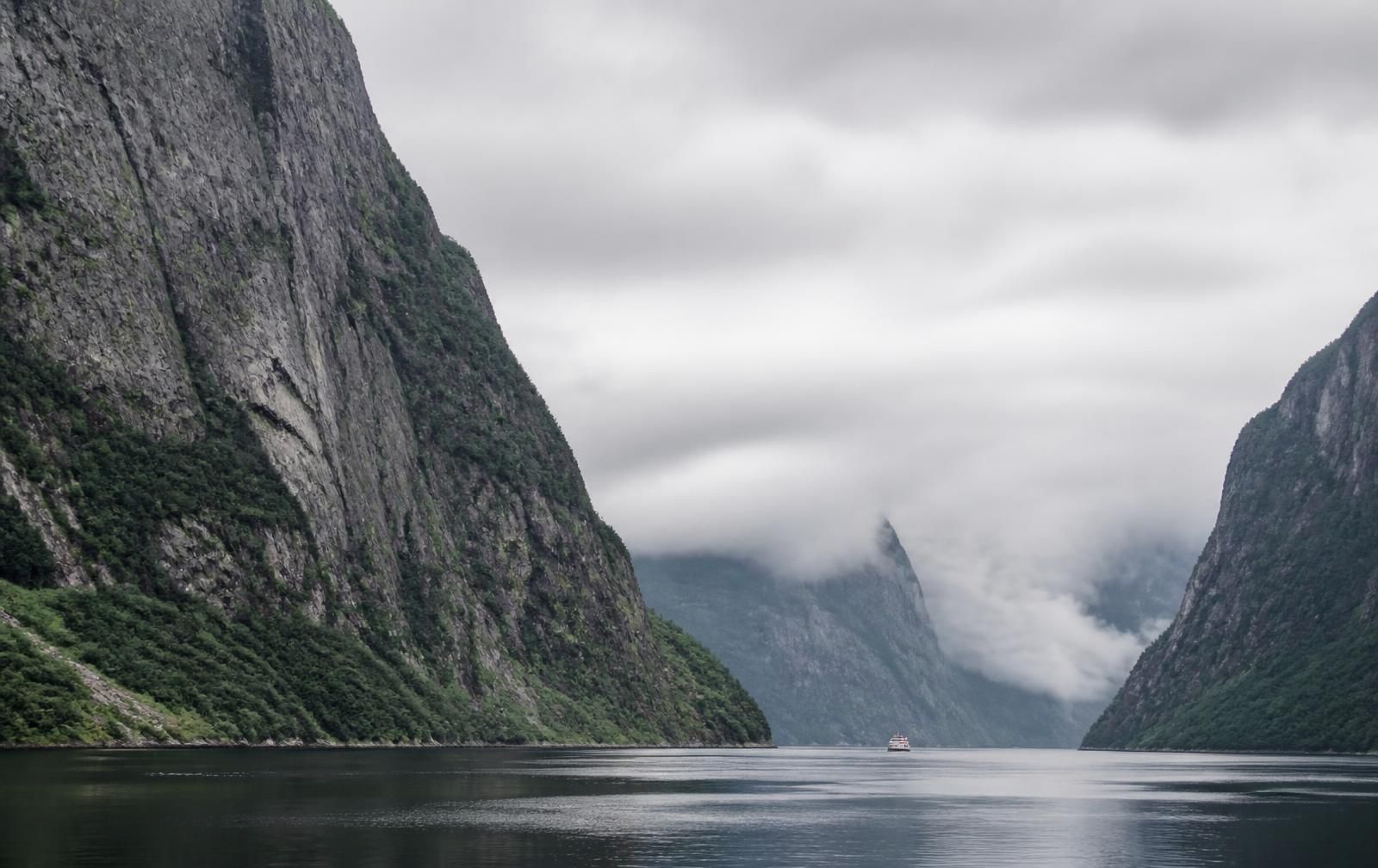
Sheer cliffs rising from the still dark water of Western Brook Pond in Gros Morne National Park, with a small tour boat far below

Western Brook Pond, Gros Morne National Park

The west coast, where the mantle reaches daylight

A landlocked fjord under 600-metre walls, reached by a 3 km walk across bog and a boat that only sails when the wind allows.

Photograph: Western Brook Pond, Western Newfoundland

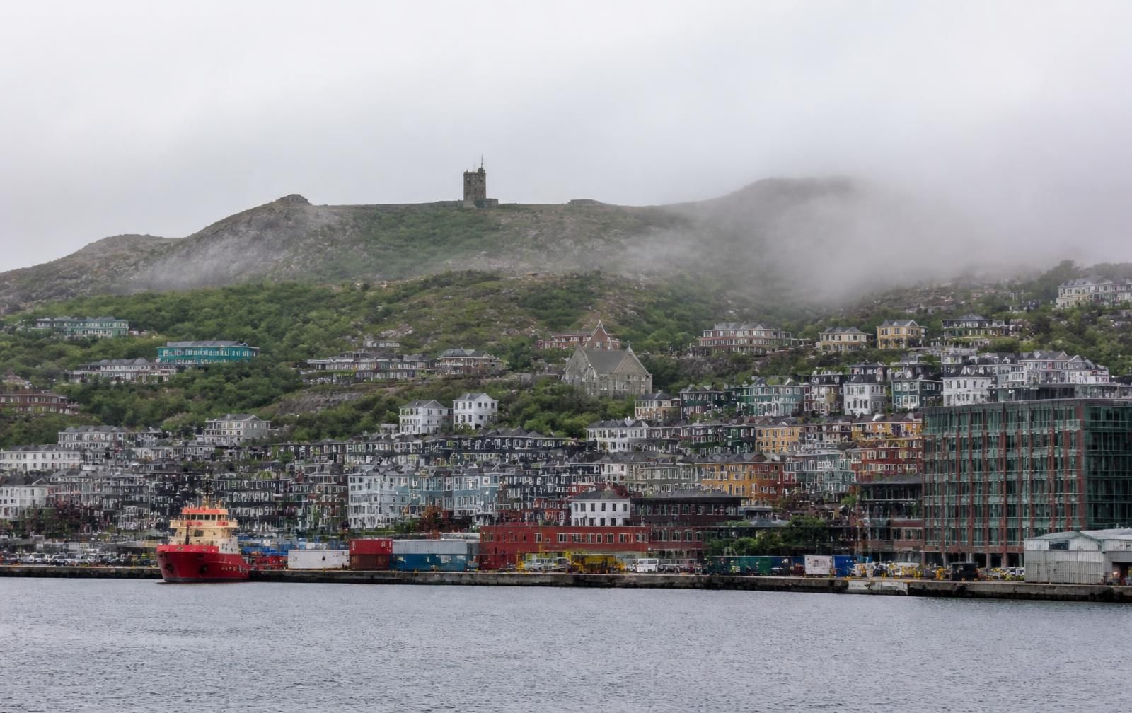
Colourful wooden row houses climbing the hillside above St. John's harbour with Cabot Tower on Signal Hill in drifting fog

St. John’s, Avalon Peninsula

A working harbour city in full colour

Painted row houses, a proper restaurant scene, and Signal Hill standing over the Narrows where the fog comes in.

Photograph: St. John’s harbour and Signal Hill, Avalon Peninsula

A large white iceberg drifting in grey water in front of a small Newfoundland outport with wooden houses and a fishing boat at the wharf

Notre Dame Bay, near Twillingate

Ice moving past communities that have always watched for it

Bergs drift down the Labrador Current each spring. Some years the coast fills with them. Some years they pass far offshore.

Photograph: iceberg off an outport community, Central Newfoundland

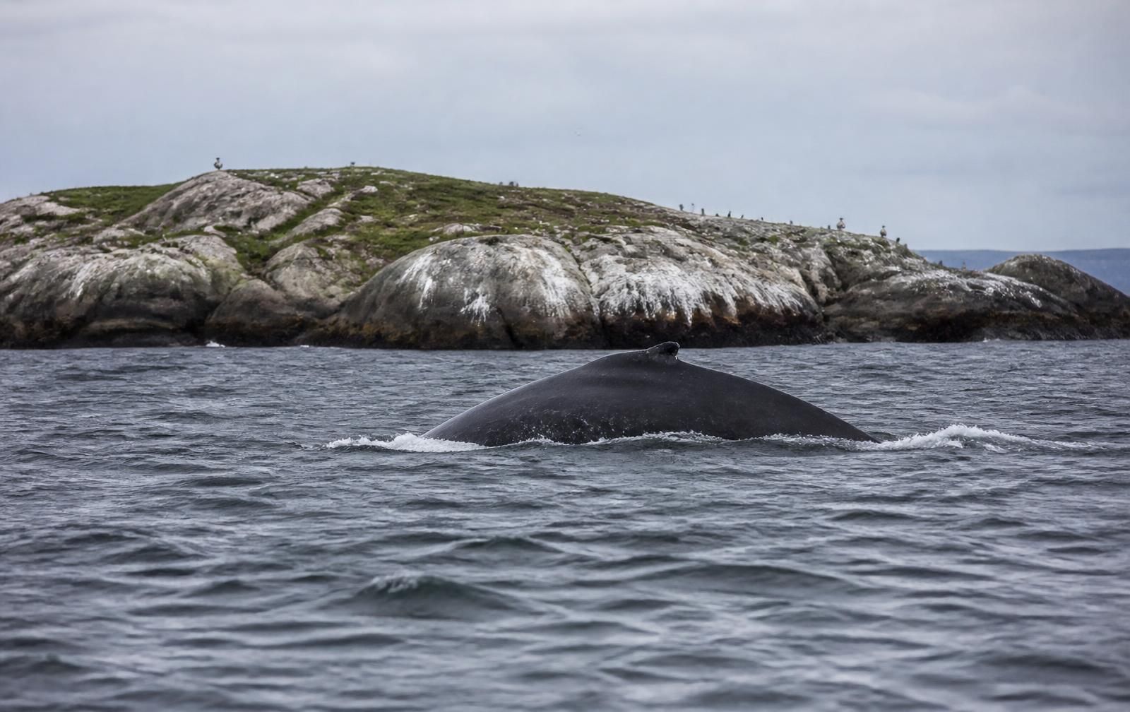
A humpback whale surfacing in the North Atlantic at a distance, with a rocky seabird island behind it

Notre Dame Bay and the Avalon coast

The living ocean, watched from a respectful distance

Humpbacks arrive behind the capelin in summer, and seabird colonies hold hundreds of thousands of birds through the nesting season.

Photograph: humpback whale and seabird island, eastern Newfoundland

The honest version

See the island at its true scale

Newfoundland is about 108,000 square kilometres, close to the size of Iceland and larger than Ireland. Maps flatten that. The Trans-Canada Highway alone runs more than 900 km from Port aux Basques to St. John’s, and almost everything worth seeing sits down a side road off it.

Visitors who try to cover the whole island in a week end up seeing the highway. The better approach is to pick one or two regions, book a couple of fixed bases, and let the days stretch. Weather, construction, ferry queues, moose on the shoulder, and a long conversation at a wharf will all add time you did not budget.

Fuel and groceries are reliable in the larger centres and thin out quickly on the Great Northern Peninsula, the Burin, and the Cape Shore. Fill the tank when you see a station rather than when you need one.

Real driving times

Clear conditions, no stops

  • St. John’s → Trinity3 h · 260 km
  • St. John’s → Bonavista4 h · 310 km
  • St. John’s → Twillingate4 h 30 · 430 km
  • St. John’s → Gros Morne8 h 30 · 700 km
  • Deer Lake → St. Anthony4 h 30 · 380 km
  • Port aux Basques → Corner Brook2 h 30 · 215 km

Add an hour to any leg you plan to enjoy. Add two if there is a lighthouse on it.

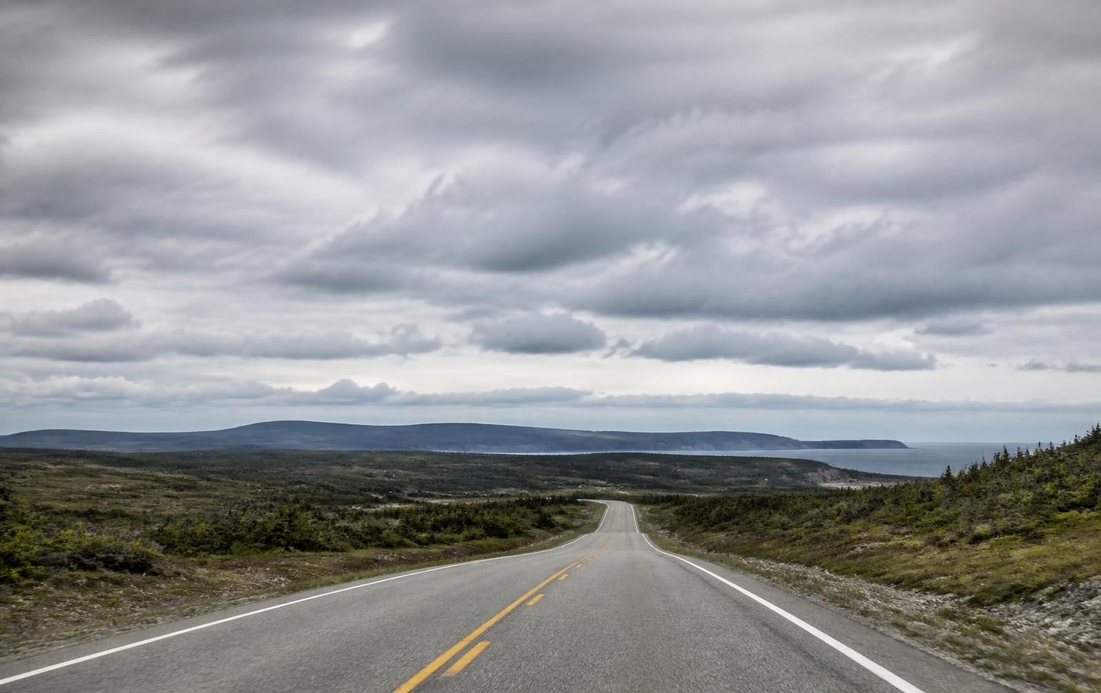
An empty two-lane highway crossing open Newfoundland barrens under a wide cloudy sky

Start here

First time on the island

Most first trips go wrong in the same two ways: too many nights moved, and too much faith in the forecast. Fix those and the island does the rest.

  • Fly into St. John’s or Deer Lake and choose one end of the island to focus on.
  • Book vehicle ferries and Western Brook Pond boat tours before you book anything else.
  • Pack layers, a real rain shell, and boots that handle wet rock.
  • Drive well below dusk speeds on rural highways. Moose collisions are a genuine risk.
  • Leave one unplanned day in each region for weather you cannot control.
Read the first-timer’s guide
Cloud caught between the towering rock walls of a fjord in Gros Morne National Park

Gros Morne National Park

The earth laid open

The Tablelands are a slab of the Earth’s mantle pushed to the surface roughly 500 million years ago. The rock is so hostile that almost nothing grows on it, which is why a whole mountain here looks like a desert dropped into a green valley. Evidence from this coast helped confirm plate tectonics, and UNESCO listed the park in 1987 because of it.

Plan Gros Morne

City and coast

A capital city, and a thousand harbours that are not it

Colourful row houses above St. John's harbour with Signal Hill behind

St. John’s in full colour

One of the oldest European-founded cities in North America, and a genuinely contemporary one. Galleries, a strong music scene, chefs cooking with cold-water seafood and foraged berries, and a harbour that still works for a living. The colour of the houses is real, though the stories about why they were painted that way get better every year.

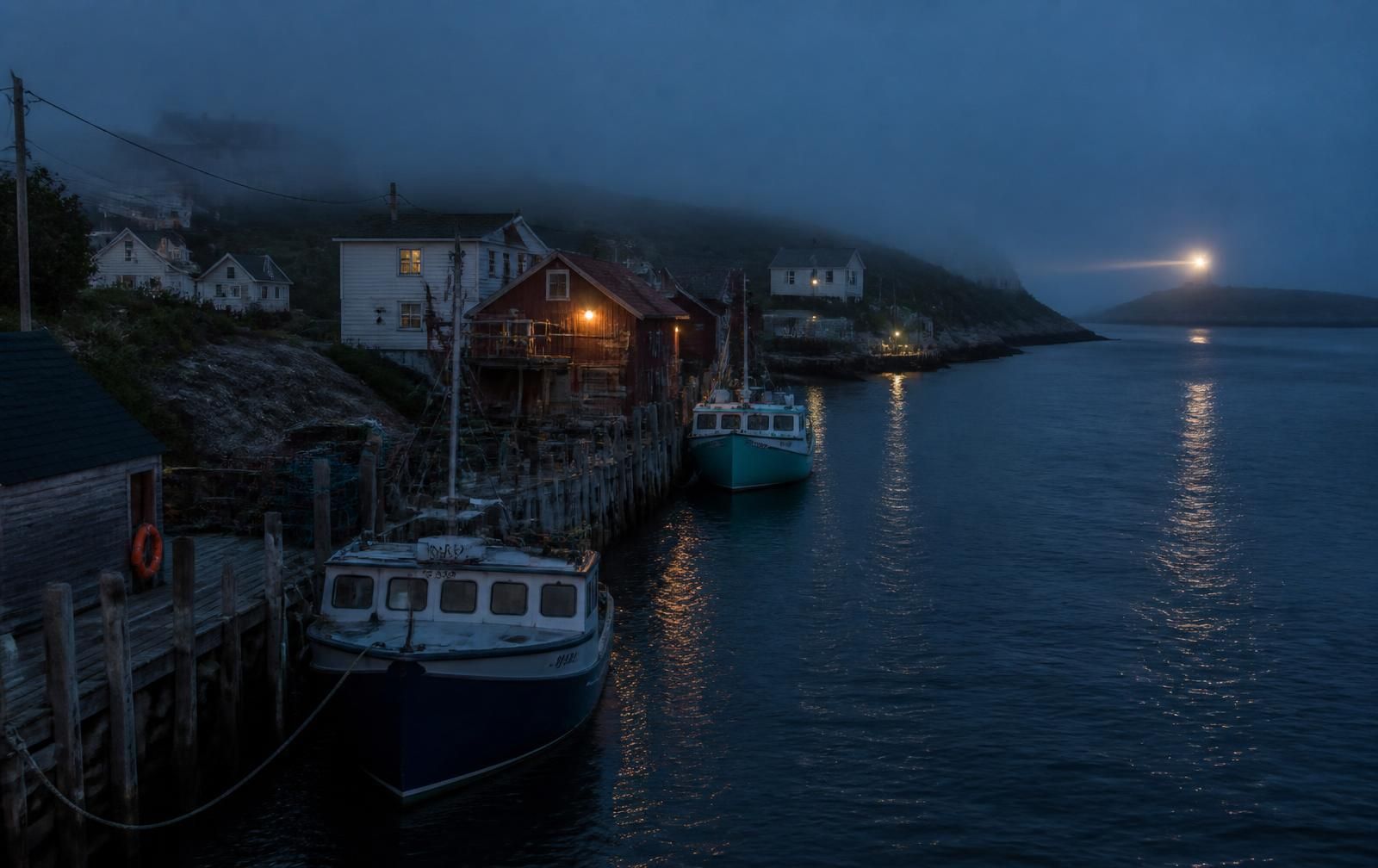
A small Newfoundland harbour at dusk with fishing boats, wooden stages, and a distant lighthouse beam

Communities facing the sea

Outport communities are not museum pieces. People live and work in them, run businesses in them, and are not scenery. Ask before photographing anyone, park somewhere that is not a driveway, and keep off working wharves unless you are invited onto one.

Ice, whales, and seabirds

Nothing out here runs to your schedule

A white iceberg floating close to a Newfoundland community

Icebergs

Ice calved from Greenland glaciers drifts south on the Labrador Current, usually appearing off the northeast coast between late April and June. Volume varies enormously year to year. Never approach a berg in a small craft or stand below one on shore.

A humpback whale surfacing near a rocky seabird island

Whales

Humpbacks follow capelin inshore from roughly June through August, joined by minke, fin, and sometimes orca. Licensed operators keep legal distances. Whales that approach a boat are choosing to, and the boat should not chase.

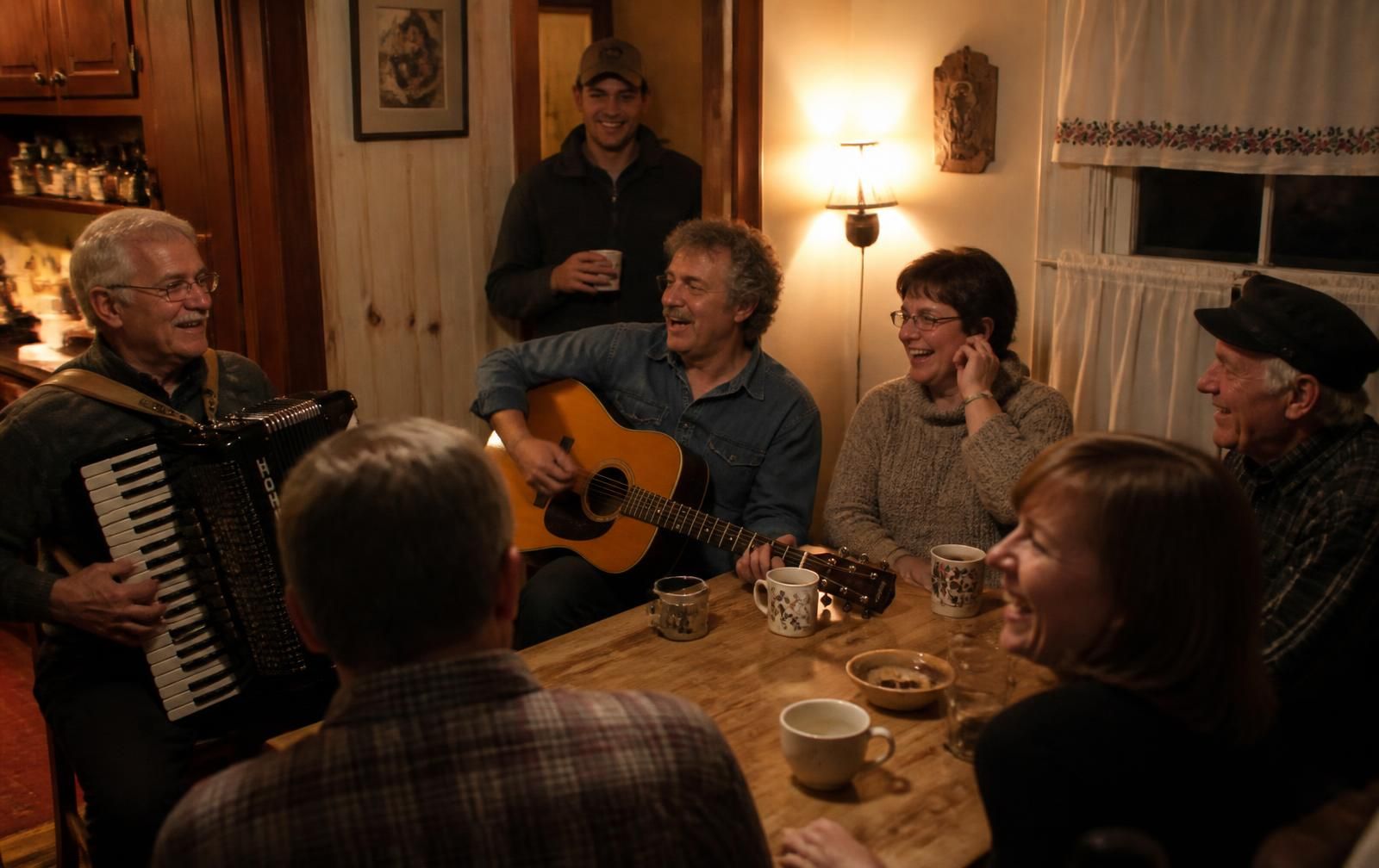
People singing and playing accordion and guitar around a kitchen table

Seabirds and nights

Witless Bay and Cape St. Mary’s hold enormous colonies through the nesting season. Evenings tend to end differently: a session in a bar on George Street, or a kitchen where someone hands you a chair.

Spring

Late ice, returning seabirds, quiet roads, many businesses still closed.

Summer

Warmest weather, whales, full ferry schedules, book everything well ahead.

Autumn

Berry season, colour across the barrens, excellent hiking, thinning services.

Winter

Snow, storms, city culture, skiing at Marble Mountain, short daylight.

Latest guides

Read before you drive

View all guides →

Newsletter

Keep Newfoundland on the Horizon

Seasonal planning notes, new regional guides, and the occasional reminder that the ferry books out in March.

2 Hour Boat Tour in Twillingate2 Hour Boat Tour in TwillingateKeep exploring Newfoundland